LA REUNION MASTERPLAN
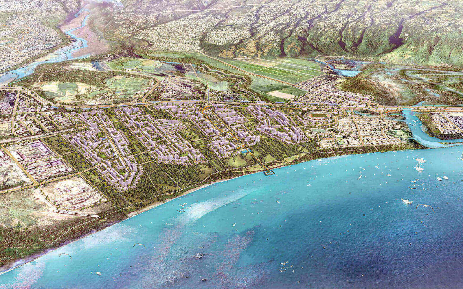
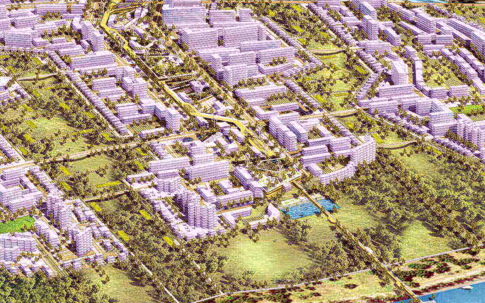
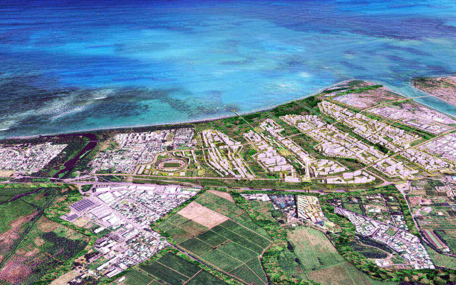
One of the most crucial ecosystem attribute to emulate is the provision of ecosystem services into the urban realm. This is a masterplan for the North-West territory of La Reunion, an island in the Indian Ocean east of Madagascar. The key planning strategy is to relink the existing green areas along the waterfront, weaving a new continuous eco-infrastructures that revitalises the natural fragmented through the overdevelopment of buildings, roads, drains and fences. By bonding together all the vegetation and the waterfront. THe materplan has a series of interweaving green fingers that extend all the way from the linear vegetated belt at seafront to the hinterland. This greenery becomes a physical nexus, with open spaces that include parks, street planting, greenbelts, woodlands, gardens and water features. The continuity of the corridors is important, so underpasses have been in included that allow these fingers of vegetation to travel under roads.
The 50/50 ratio between green and urban areas also provides a sink for CO2 emissions and counteracts the heat island effect of large built-up areas besides enabling the provision of ecosystem services. A continuous experience of living within an urban forest is promoted where the public is always within a seven minute walking distance towards greenery and local amenities. Progressive planting of native species seek to restore and repair the existing depleted ecosystem of selected flora and fauna.
Development is directed towards the coast, discouraging any sprawl towards the hill slopes. The east-west facing planning pattern bio-climatically brings the cooling winds from the sea into the development, reducing the ambient temperature. High level gardens are designed in the form of large balconies and roof gardens for the private residences, where dwellers can enjoy the high-level sea breezes and magnificent views. The buildings are then harnessed for cross ventilation, with solar protection of window facades to reduce solar gain.
CLIENT
TCO
LOCATION
La Reunion, France
SITE AREA
772 acres
YEAR
2013
Green Fingers Interlocking With The Urban Realm
A network of public spaces is intended to encourage diversity and social interaction. The scheme includes for multipurpose beach spaces (such as a shark protected swimming pools) that are suitable for parties, family spaces for picnics and also quiet spaces for individuals. Lifestyles that lower the consumption of energy, water and reduction of urban nests are encouraged, with the intention of making this area a 21st century art and cultural township. Promenades and plazas, and a rotational community market is programmed to take place at each one every four weeks. All the important amenities such as pharmacies and shops surround these plazas.
Hybrid and clean fuel vehicles will be promoted for both the private and public transport system, with a transport hub to concentrate them in one area. Mass public transportation will be electrically powered by renewable energy, whilst cycling and running is promoted through various pedestrian and bicycle pathways. Similarly, energy efficient solar powered street lighting and night night lighting are adopted, as are PV cells located over the highways. Water management is integral to the masterplan, closing the loop by adopting sustainable drainage to recharge the aquifers. Drainage strategies include bioswales, a sustainable sewerage treatment system, filtration strips and detention ponds, which bring surplus rainwater back into the ground to recharge the ground water. Waste management includes for recycling all wastes and materials from the area. This is a model masterplan where the provision of ecosystem series was brought with the urban realms by a series of green fingers linked to green corridor along the waterfront.


